Our Team

Our Team

Experienced professionals driving technical excellence

Our multidisciplinary team brings extensive experience across mineral exploration, geology, mining, GIS, remote sensing, hydrogeology and geospatial services.

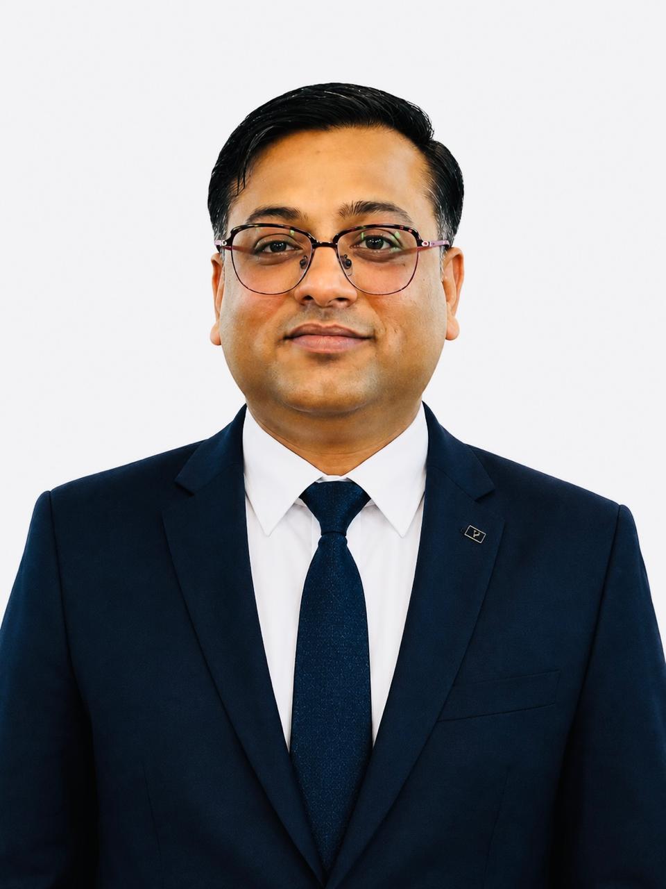
Amit K Bansal
20 Years Experience

Amit K Bansal

MSc. Tech. (Geology) · Founder, Managing Director and Principle Consultant

Amit is a highly skilled Mineral Exploration and Mining consultant with 20 years of rich experience. He has global experience across greenfield and brownfield projects including project due diligence, exploration planning, geological mapping, sampling, drilling supervision, core logging, QAQC, resource modelling, reserve estimation and mine planning.

Core Expertise

  • Mineral Exploration & Mining
  • 3D Resource Modelling & Reserve Estimation
  • Mine Planning & Open Pit Scheduling
  • Project Due Diligence
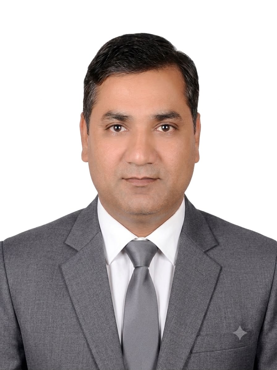
Dharmendra Goyal
18 Years Experience

Dharmendra Goyal

MSc. (Geology), MMEAI · Executive Director and Senior Consultant

Dharmendra is a highly skilled Mineral Exploration & Geology consultant with 18 years of rich experience. His experience covers greenfield and brownfield projects, exploration planning, cost planning, geological mapping, sampling, drilling supervision, core logging, QAQC, 3D resource modelling and technical reporting.

Core Expertise

  • Exploration Planning & Target Generation
  • Geological Mapping & Sampling
  • 3D Modelling & Interpretation
  • Remote Sensing & Aster Data Study
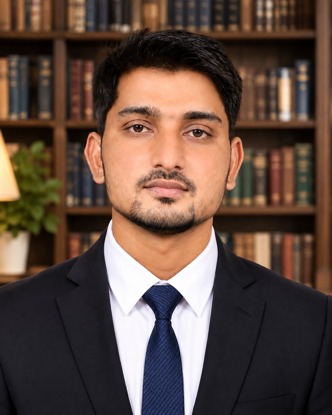
Balveer Singh Yadav
8 Years Experience

Balveer Singh Yadav

MSc. (Geology and Environment Science) · Geologist

Balveer is a skilled Mineral Exploration & Geology consultant with 8 years of rich experience in greenfield and brownfield projects, geological mapping, sampling, drilling supervision, core logging and sampling, QAQC, map generation and geology report preparation.

Core Expertise

  • Geological Mapping
  • Drill Hole Planning
  • Sampling & QAQC
  • Lithology & Mineralization Interpretation
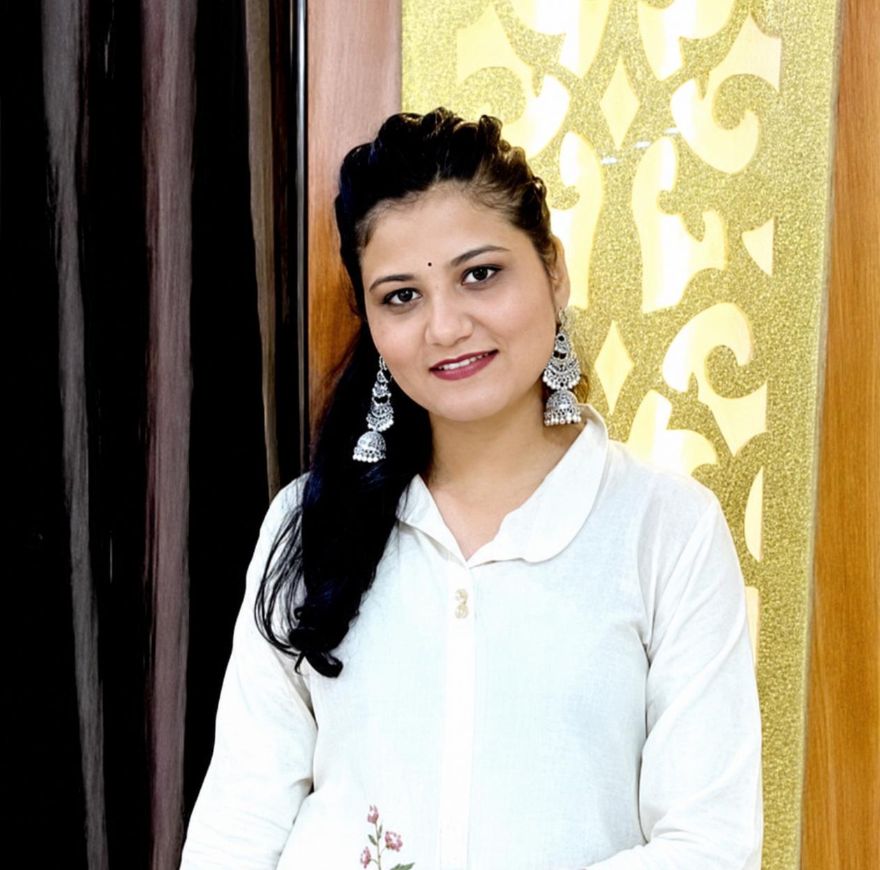
Madhurika Saini
GIS & Remote Sensing Specialist

Madhurika Saini

M.Tech Remote Sensing · GIS Analysis/Remote Sensing, Drone Mapping & Geospatial Specialist

Madhurika is a highly skilled Senior GIS Analyst and Remote Sensing Specialist with experience in GIS analysis, drone photogrammetry, hydrogeological investigations, groundwater studies, mine planning and volumetric analysis.

Core Expertise

  • Satellite Image Processing
  • Spatial Analysis & GIS Mapping
  • Drone Photogrammetry & Orthomosaic
  • 3D Surface Modelling & Volume Calculation
Facebook Instagram
Call Now Button